
Solutions
Geospatial analytics
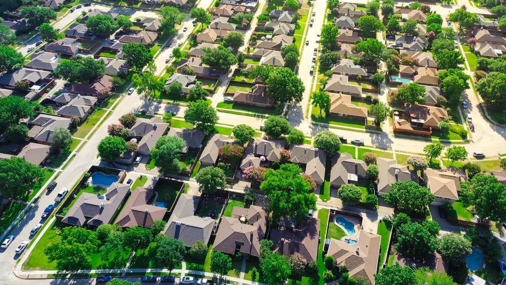
Transforming your business with powerful geospatial analytics
Harness the power of geospatial analytics to drive smarter decisions across your business. Many analytics platforms have the capability to handle spatial data, but using spatial data effectively can be a challenge. CACI’s geospatial experts combine AI-powered insights, bespoke datasets and predictive algorithms to uncover customer behaviours and spatial patterns that will inform successful strategies.
ML and AI predictive modelling
Employ the latest advancements in machine learning & GeoAI to elevate geospatial analytics to the next level.
Granular and intelligent datasets
We blend a wide range of sources combined with the latest techniques including deep learning and image analysis to create unique and purpose-built data.
Transparent, actionable insights
Best practice analytics do not become a black box. They explain gaps in performance and opportunities presented by the models, linking to clear, actionable recommendations.
Where problems are solved
What truly AI-powered geospatial analytics could mean for you
Predict sales potential
Develop accurate predictive algorithms, blending unique data with the right techniques to create robust forecasts.
Measure online and wholesale halo
Develop accurate predictive algorithms, blending unique data with the right techniques to create robust forecasts.

Quantify demand
Build on a detailed understanding of consumers to create detailed demand surfaces to understand the opportunity for new and existing products and services.
Measure impact
Quantify the impact of changes such as competitor openings, refits or expansions or addition of new offers and services. Separate true impacts from market change or factors such as weather.
Pinpoint target locations
Identify ideal locations for your store locations down to street level. Factor in micro-level detail to identify where the footfall, supporting retail, micro-location drivers and more.
Optimise your footprint
Ensure your existing store network is configured to deliver maximum sales with minimal cannibalisation. Optimisation algorithms identify your ideal network configuration and underpin a realistic strategy to move from “as is” to ideal.
We bring our expertise to you
Why leading organisations use our geospatial analytics services
Expertise
CACI’s models employ approaches such as ML-gravitational modelling, XGBoost and sophisticated geospatial algorithms to gain extra accuracy and confidence in key decision-making processes.
Powerful, granular datasets
We combine a granular understanding of people and customers through ML-powered geodemographic segmentations (e.g., Acorn, Ocean), where they go through granular mobility & movement data and what they spend via robust consumer spend datasets.
Linking to business value
We ensure that any application of geospatial analytics connects your business functions and goals with realised value. Our services are designed to be tailored to your business needs and to maximise value across teams and business functions.
Awards & accreditations


Want to know more about us?
Related services
Demographic data
Gain a deep understanding of local consumer demographics and behaviours across global markets. Access actionable data on population, spending, mobility and consumer segments, including profiles like Acorn.
Location data
Get granular insight into how consumers interact with places, so you always have the right level of detail to make smart decisions while reflecting between different markets.
Retail network optimisation
Understand how many stores you should have and where. Prioritise expansion and being smart about formats, ranging and how your channels support each other.
Location planning
Use data-led insights to evaluate pipeline sites, identify ideal locations for new openings and quantify local, national and regional market potential for growing brands.
Consumer spend data
Get tailor-made data-led insights to better understand your markets. Assess market sizes and share, analyse spending patterns and trends by demographics and geographies.
Footfall data
Get detailed insights on the movement of consumers across the retail and leisure landscape – by time of day, day of week and seasonally.
FAQs
Answers to common questions about geospatial analytics.
Geospatial analytics enhances decision-making, improves efficiency, optimises resource management, provides a competitive edge by identifying market trends, and integrates seamlessly with GIS, ERP, and CRM systems for comprehensive data analysis.
Key features of geospatial analytics include data visualisation, spatial analysis, mapping, geocoding, and integration with other data sources. These features enable businesses to analyse geographic data, create detailed maps, and gain insights into spatial relationships and patterns.
An example of applying geospatial analytics is analysing traffic patterns in a city to optimise public transportation routes. By combining GPS data from buses, traffic sensors, and demographic information, city planners can identify congested areas and adjust routes to improve efficiency and reduce travel time.