What Can You Expect To See In InSite 8.8?
Share this article
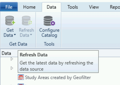
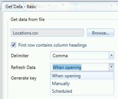
Get Data
We’ve simplified the way you get your data into InSite. Currently working in tandem with File Import, Get Data is a two click process – select your file and if you’re happy with how InSite has interpreted the data press Finish and that’s it.
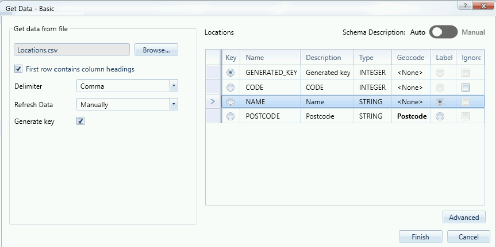
The exciting thing is now InSite remembers where the file came from and its structure. So should you update the original file, simply click “Refresh” and the data in InSite will be updated. Additionally, if your file is constantly updated, InSite can update itself every time you go into the system giving you an almost live link to your data.
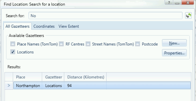
Find Location (Gazetteer)
Setting up your own gazetteer to use on your own data is now much easier via the Find Location application.
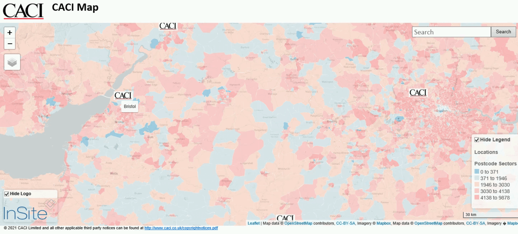
HTML Mapping
Since the introduction of HTML mapping in InSite in 2019 we have updated the features with every release. In InSite 8.8 you can now export layers with images and logos.
We have also removed the limit on the number of layers you can have on a map (the only limit is the size of your available disk space).
Other Improvements
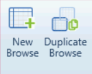
Duplicate your browse and map windows to test expressions and/or colour schemes without affecting your original files.
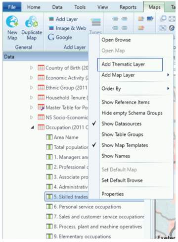
Add a thematic layer to your maps directly from the data tree.
Address level profiling now available using PAF’s UDPRN or OS AddressBase’s UPRN.
FFP (Field Force Planning) has seen quite a few improvements to enhance the user experience and map displays.
Spatial Modeller has had a small face-lift to improve the user interface and experience.
Under the hood speed improvements (e.g. to create a dtx for the whole of the United States used to take a few hours – it now completes in 5-10 minutes).
To upgrade to InSite 8.8 or if you would like more information on these new features and improvements or would like a demonstration please get in touch with your account manager.
Share this article