Solutions
Route optimisation solutions
Streamlined route planning, with precision


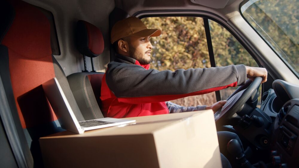
Route planning is a complicated task.
From vehicle volumes and capacity to unexpected traffic and managing driver routes. Our solutions and products improve efficiency and offer clarity instead of complexity.
We understand the desire to be efficient, along with the need to be compliant. So we consider all factors when we work with you – to deliver the best solution.

Overwhelmed with route options?
Managing hundreds – even thousands – of routes is a daunting, time-consuming task.
Falling short on your delivery windows?
Non-optimised route planning can quickly become an obstacle to on-time delivery.
Struggling to keep up with regulations?
Legislation can change at the drop of a hat. It’s tricky to stay on top.
Did you know?
Route optimisation
is cited as the most effective solution to reduce fuel consumption and emissions for large fleets.
Where problems are solved
Route optimisation solutions that are designed to be simple
Cut costs, not corners
Simply put, inefficiency costs money. Lower your fuel bills by 5-25%, have fewer vehicles on the road, and reduce driver hours.
Be on time, every time
Your customers deserve reliability. Put customer relationships first and win loyalty with consistency.
Reduce your carbon footprint
Hit ESG targets with fewer vehicles on the road, driving optimised distances. No more wasted time on routes that aren’t optimised.
Make sure compliance is maintained
Minimise the risk of violations and penalties through compliant route scheduling. So you can meet local, national and cross-border legislation, easily.
Be prepared for variables
Our powerful algorithm plans the most efficient routes, taking the type and mix of vehicles, size and specification of products, driver shift schedules, road networks, traffic conditions and many more factors into account.
Answer the big questions with small details
How many vehicles do we need? Should we be moving to electric vehicles? When should you introduce a new depot? Use advanced data analysis to answer the big questions.
We bring our expertise to you
Leading companies choose our route optimisation solutions for a reason
Flexible and scalable
Pin Routes is truly cloud-based and can be accessed from anywhere, anytime via user-interface or API. It’s scalable too, working to optimise 10 to 10,000 jobs at one time.
Easy integration
Manage the routes as they’re being driven by integrating with Pin Live. An app for drivers that navigates through different jobs and products that need to be delivered – giving you a full audit trail in real time.
Advanced features
Soft-Time Windows give you the flexibility you need to meet time obligations whilst giving you flexibility. Virtual stops lets you know which depot is the smarter choice for a delivery. Collection and delivery pairs add to the power of your optimisation.
See us in action
Helping DX optimise operations and grow business
Find out how CACI helped DX optimise operations and enhance business development capabilities through a tender with CACI to implement its market leading route optimisation solution.

Find out more about it
Transform your route planning with Pin Routes
Discover how Pin Routes can optimise your logistics operations, reduce costs, and improve efficiency. Book a personalised demo to see how our cloud-based solution can streamline your route planning and drive smarter decisions for your business.
Awards & accreditations


Want to know more about us?
Related services
Supply chain planning
Make key decisions on distribution network planning, testing a myriad of scenarios and moving parts to provide realistic, data-driven answers.
Delivery management
Manage deliveries and collections and keep all elements running smoothly in a live, real-time environment.
Logistics consulting
Benefit from our expertise and our toolkit, using us for supply chain and logistics consultancy projects when you don’t have the time, expertise, toolkit or inclination.
Transport management
Our transport management software helps you keep complete visibility – of drivers and vehicles – so all aspects are seamless, with real-time updates.
Fleet management
Managing your fleet with an end-to-end system, tracking the status of each vehicle, while ensuring all vehicles are roadworthy and compliant.
FAQs
Answers to common questions about our market leading route optimisation solutions.
Route optimisation determines the most efficient route – or series of routes – for a set of stops. It considers factors like distance, travel time, vehicle capacity, and specific service constraints (such as delivery time windows). It’s not just about finding the shortest path between points, but making an entire route (or routes) as efficient and cost-effective as possible. This involves sophisticated algorithms and software solutions to analyse and sequence stops in a way that meets all operational requirements while minimising time and costs.
The benefits are vast. But you can expect reduced operational costs, increased efficiency, improved customer happiness, better compliance, and the potential to make data-driven decisions.
Pin Routes is designed to be highly flexible and configurable, catering to a wide range of logistics and delivery operations. Whether you’re managing a small fleet with localised deliveries or a large-scale operation with complex logistics needs, Pin Routes can be tailored to meet your specific requirements.
Pin Routes uses advanced algorithms that consider real-world time constraints and operational needs. It’s flexible and configurable and can be adapted to a wide range of use cases without the need for custom development. The interface is intuitive and it can integrate with Pin Live for a holistic approach to route optimisation solutions.
Pin Routes is a fully cloud based software solution, accessible by your browser. Please ask if you’d like to know more details about the technology stack.